Penarth Dock, South Wales - 150 years - the heritage and legacy  
Penarth Dock, South Wales - the heritage & legacy . . .

Volume Five - The Age of Decline & Crass Stupidity - Some fools had cunning plans! . . .

The map of 1970 - 74 of Penarth Dock
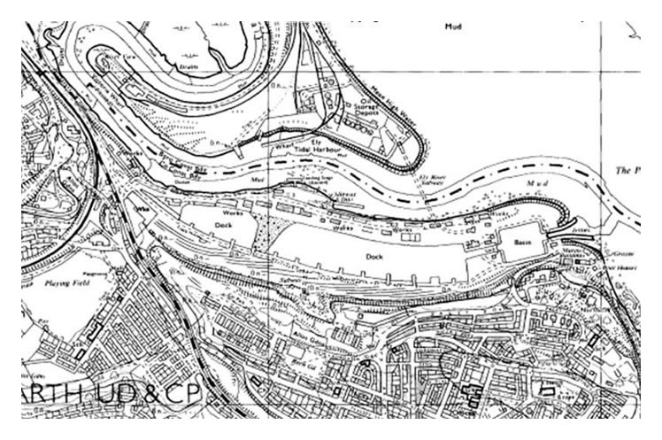
The OS map of 1970 to 1974 indicates the extents of the dam across the dock which is 370 feet (112.8m) wide at this point. The actual date of the survey is unknown but the Missions to Seamen building is still shown as is the entrance to the Ely subway, the slipway and gridiron and the hydraulic house on the northern side of the dock. I would suggest, however, that by the date of publication of the map, most of these buildings had been demolished and the subway blocked up. [010]
 
Map prior to 1963 of Penarth Dock.
An earlier OS map showing the former location of the pontoon i.e. prior to 1963 and prior to it's one way trip to the infamous Davy Jones locker! [010]
© 2014 - 2025 - penarth-dock.org.uk - all rights reserved - web design by Dai the Rat