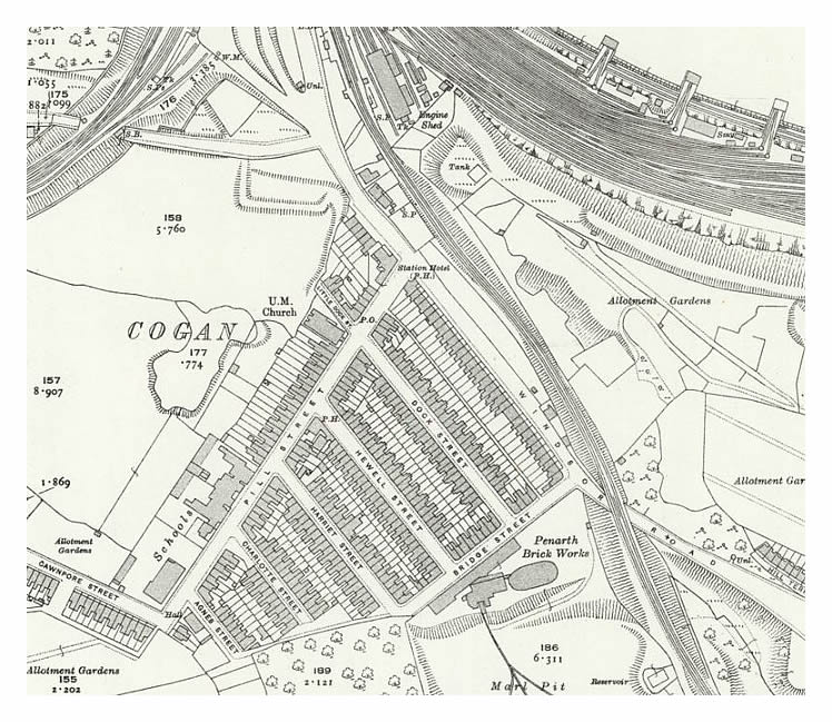
1920 - OS Map of Cogan - Revised 1915 – The pontoon and the engineering works is now indicated at the dock and the “Duck Pond” of Cogan is now much more pronounced; other brick ponds have been filled-in and the field boundaries and their land areas are defined. To the rear of Little Dock Street there is however, a feature which could be the remains of a former brick-pond or perhaps the remnants of the old Cogan Pill. Assistance is required here please - does anyone have any photos or other information from this era? [010] [398]
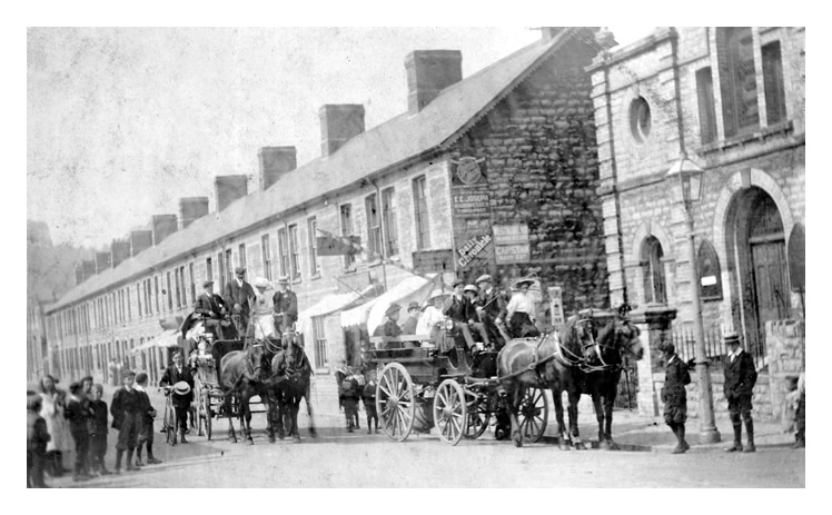
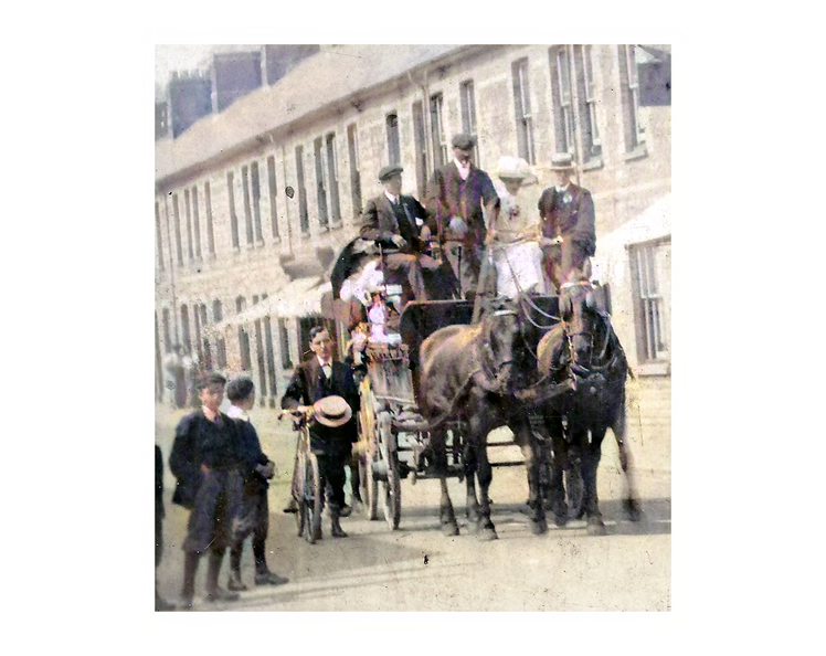
Note also the 'UM Church' situated at the junction of Pill Street and Little Dock Street. This is The United Free Methodist Church (1883-1952) and which was destroyed by fire 1958 and demolished in 1960. The view below, looking down Pill Street, was kindly provided by David Ings and features a wedding party. The enlargement has been colourised. [654]
|