|
|
Penarth Dock, South Wales - the heritage & legacy . . . |
|
|
Penarth Dock, South Wales - the heritage & legacy . . . |
|
Volume Six - Pre-Victorian to the Present Day - Select Aspects - Growth and development at Cogan . . |
|
|
|
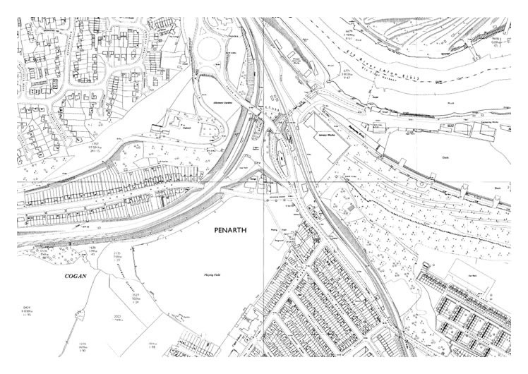
1971 - OS Map of Cogan [010] – Above Andrew Road is the "old" road to Cardiff and the section between the Merry Harrier roundabout and the Penarth Road roundabout was a narrow lane with a sharp bend but somehow was designated the A4055. To round the bend, buses had to use the entire road and numerous head-on collisions occurred as a result. A member of the forum has suggested that the rubble and earth used to create the dam across the dock came from the excavation of the "new" road between the same points but the 1971 map does not seem to confirm this; although there is always a delay between the date of survey and publication of maps even in the age of digital maps so it could be correct. |