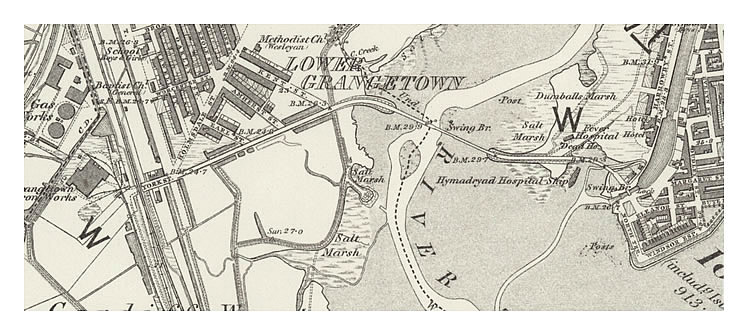
The swing bridge over the river Taff is clear as the roadway narrows at its central section. Interestingly it is not situated (at this map date) over the deepest part of the river, which for navigation of ships at low tides would be more logical. This fact does, however, illustrate the problems only later experienced with the route of the roadway and bridges and begins to explain why the new Clarence Road bridge of 1889 was built approx. 300 yards upstream of this location.
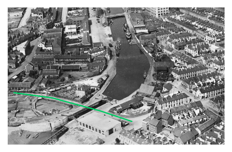
The roadway then passes closeby the Hamadryad Hospital ship. The swing bridge over the Glamorganshire Canal was situated between the inner and outer sea lock gates. The section of an aerial photograph taken in May 1921 is from the People's Collection Wales [048] and indicates the approximate former route of the roadway and swing bridge over the sea lock of the canal.